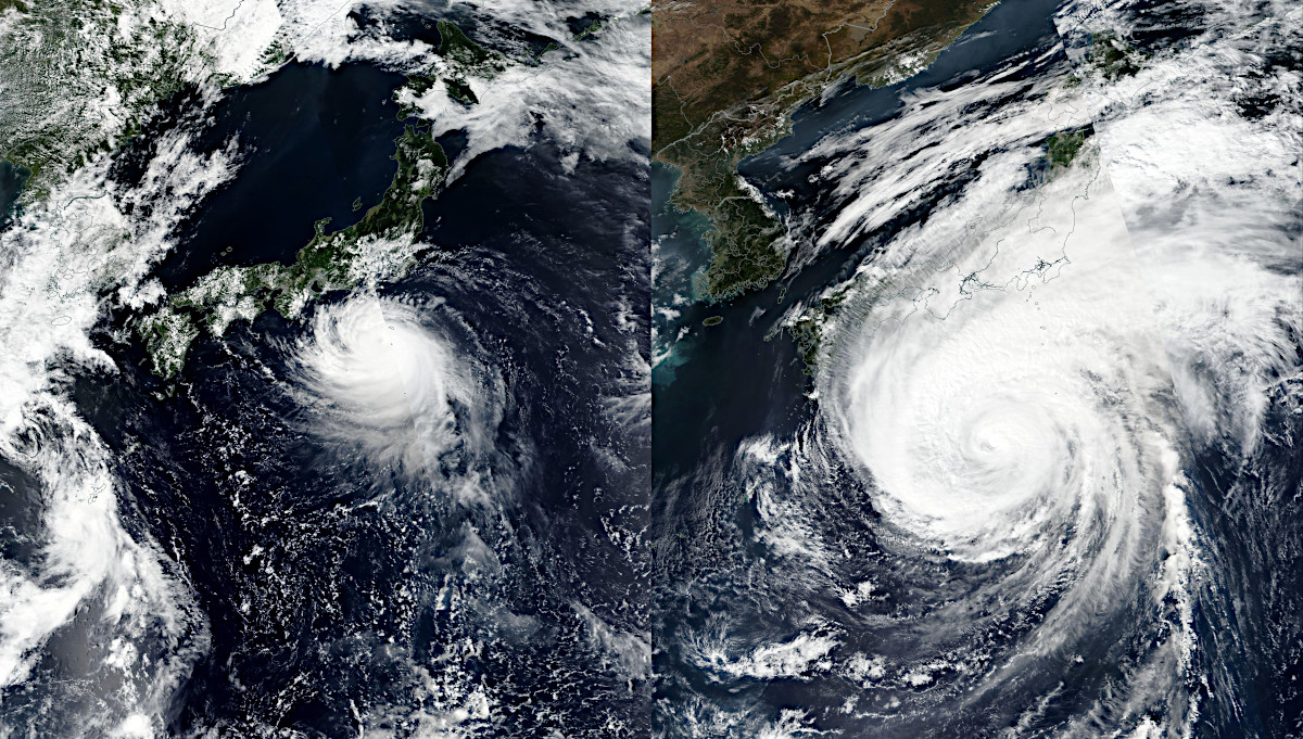
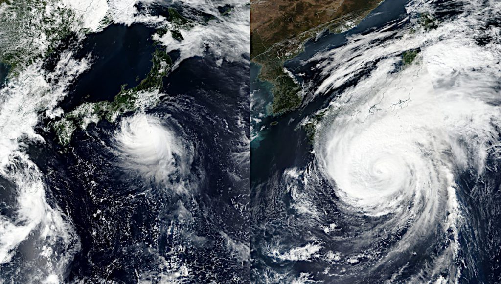
昨日に引き続き、台風15号と台風19号の画像を並べてみました。左が台風15号で2019年9月8日に撮影されたもの、右が台風19号で10月11日に撮影されたものです。
どちらもNASA(アメリカ航空宇宙局)とNOAA(アメリカ海洋大気庁)が運用する地球観測衛星スオミNPPによる画像です。NASA Worldviewから取得して横に並べました。左右ともに同じ範囲を切り出しています。
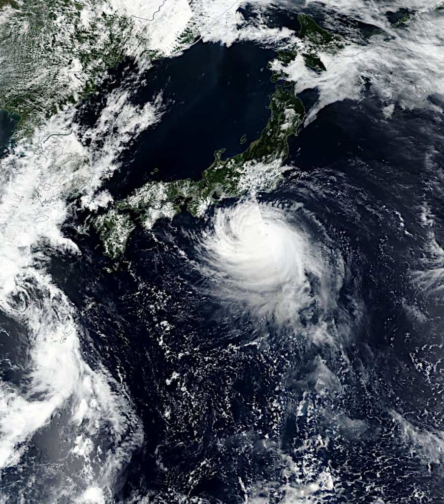
これは台風15号の画像。
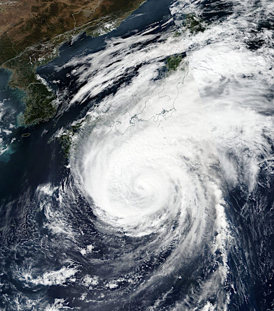
こちらは台風19号の画像です。
NASA Worldview(https://worldview.earthdata.nasa.gov)では、テラ衛星やアクア衛星などが取得した、日々の地球全体の衛星画像を見ることができます。
We acknowledge the use of imagery from the NASA Worldview application (https://worldview.earthdata.nasa.gov), part of the NASA Earth Observing System Data and Information System (EOSDIS).
 大宇宙 写真集500【改訂新版】
 探査機が見た太陽系【第4版】
 ジェイムズ・ウェッブ宇宙望遠鏡がみた宇宙【改訂版】